
Jurisdictional - Sourcing Data
Jurisdictional shapefiles are publicly available on the Census.gov website. Clicking into 2014, I found an FTP link with several folders to peruse.
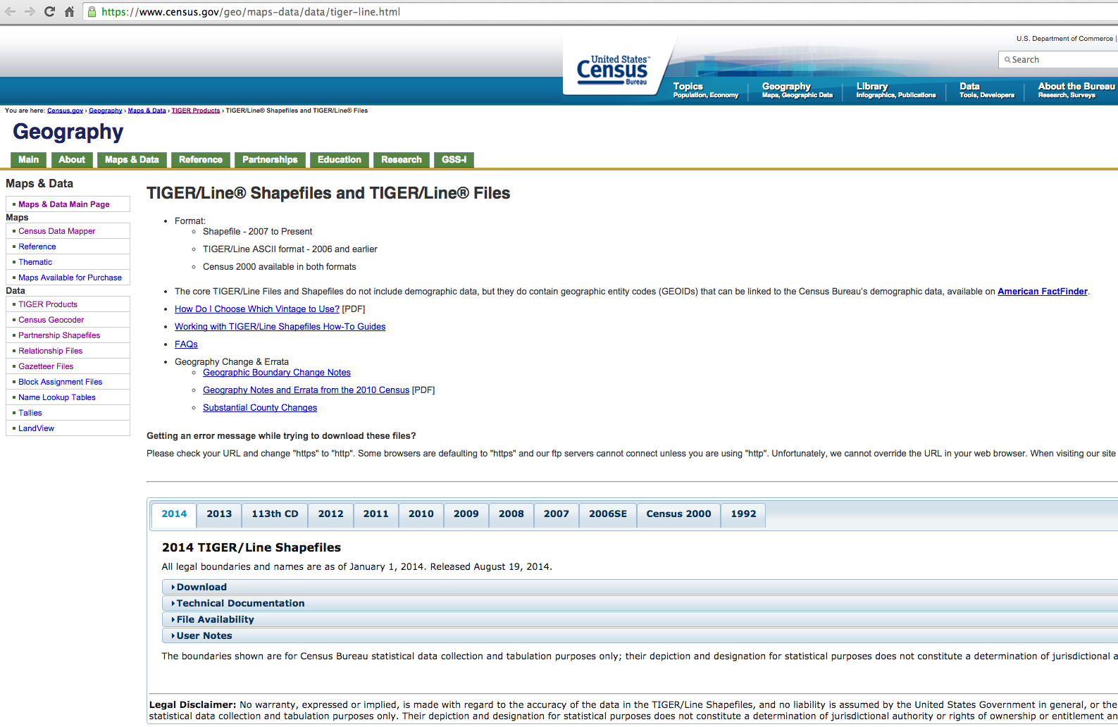
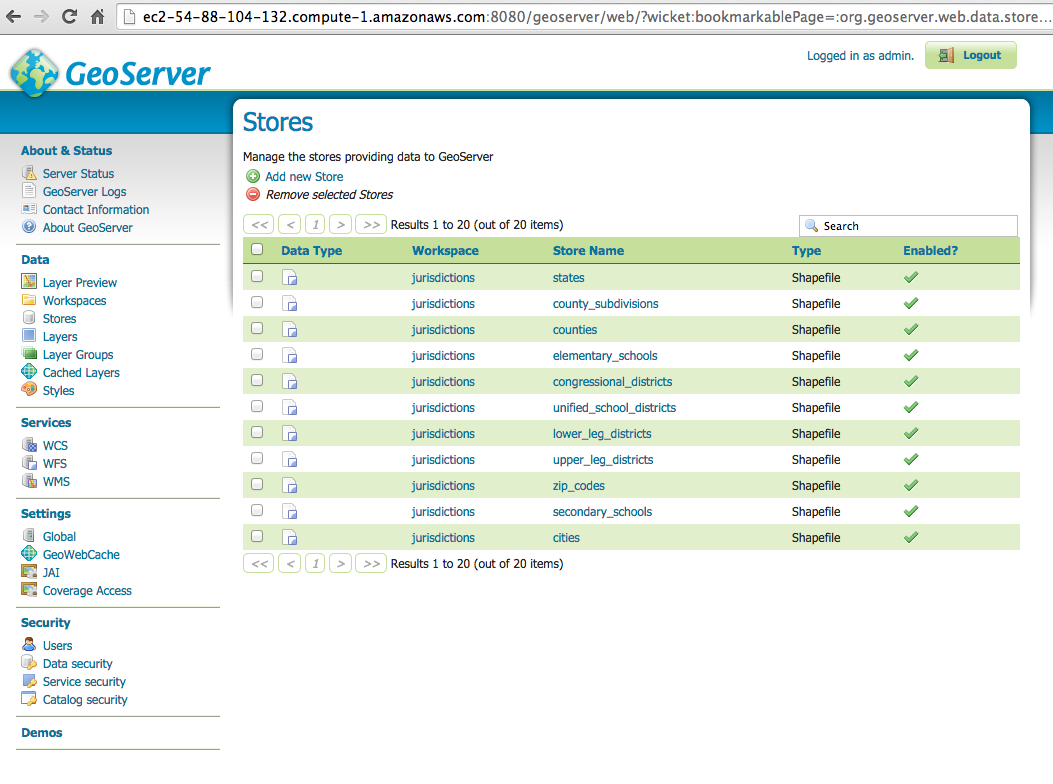
After finding and downloading the .shp files, I uploaded them to Amazon S3. From S3, the .shapefiles can be imported into Geoserver as a "Store".
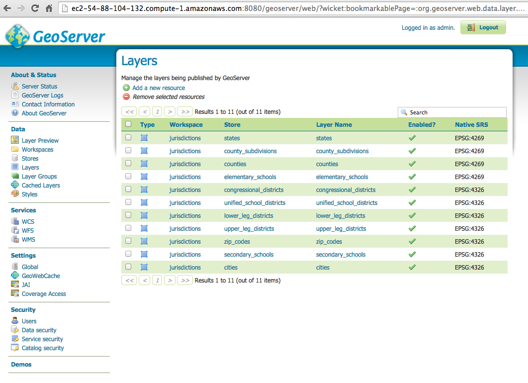
Similar to Stores, Geoserver allows a Store to be published as a Layer. Publishing is important so the shapefiles can be displayed on a map and queried to produce API results as XML or JSON.
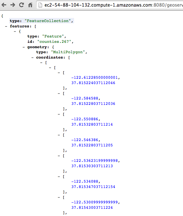
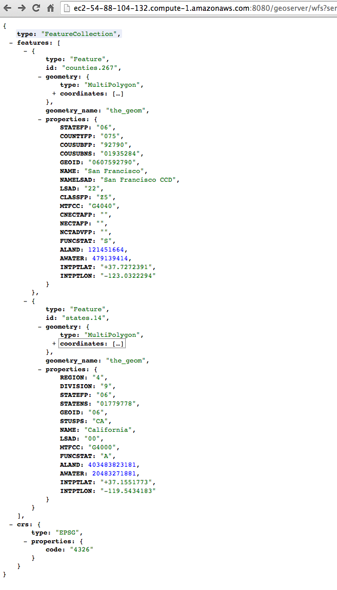
Here is a small sample of Geoserver JSON response.
Here is a full sample of Geoserver JSON response with coordinates nodes collapsed.
By Ryan Wold · © 2014–2026 Ryan Wold
Licensed CC BY-NC 4.0. AI training requires a license — machine-readable terms.
Enjoyed this? — any BSV wallet, HandCash, or plain old dollars.