Show
Destroy
An entry
Get it down. Make it good. Share it.
Title
Text
Jurisdictional shapefiles are publicly available on the Census.gov website. Clicking into 2014, I found an FTP link with several folders to peruse. 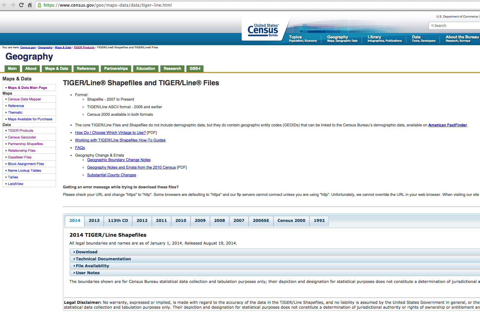 After finding and downloading the .shp files, I uploaded them to Amazon S3. From S3, the .shapefiles can be imported into Geoserver as a "Store". 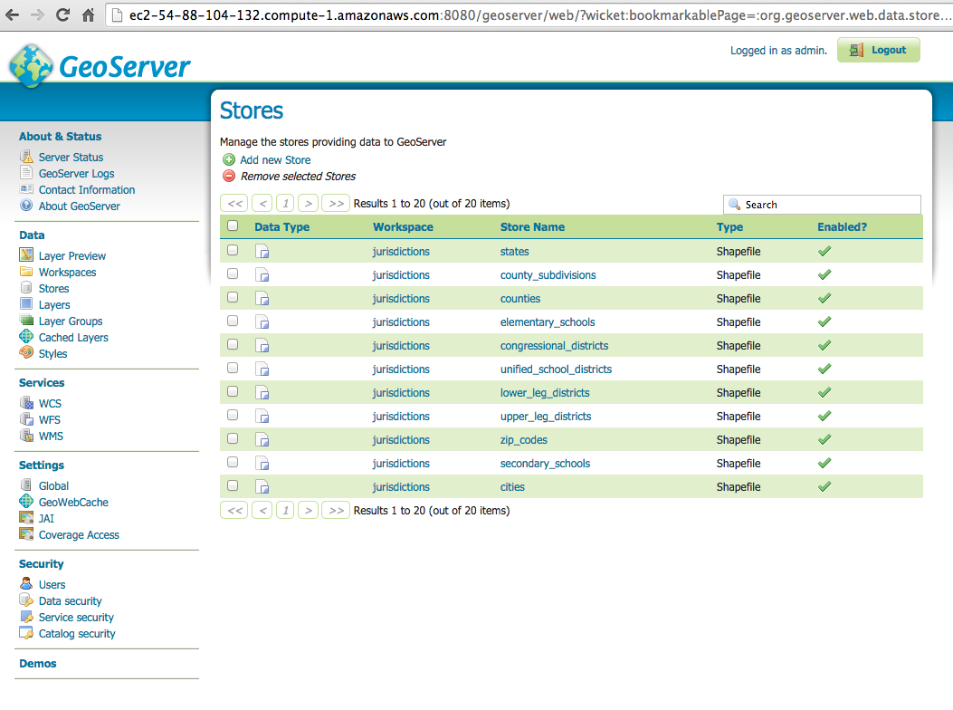 Similar to Stores, Geoserver allows a Store to be published as a Layer. Publishing is important so the shapefiles can be displayed on a map and queried to produce API results as XML or JSON. 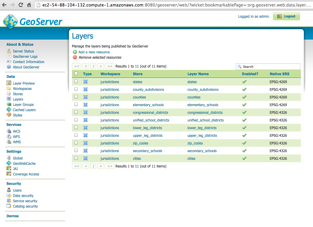 Here is a small sample of Geoserver JSON response. 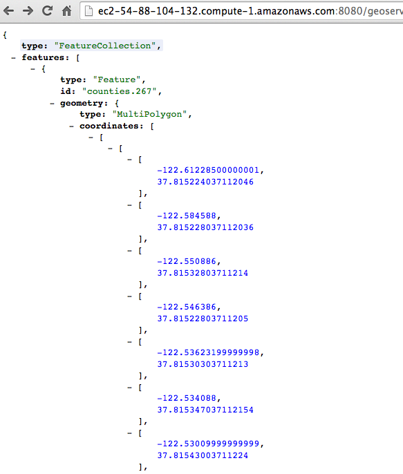 Here is a full sample of Geoserver JSON response with coordinates nodes collapsed. 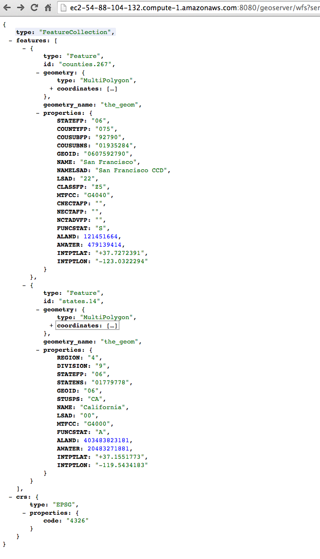
Status
idea
draft
release
personal
Series
Part of a Series?
Bitcoin
On Work
Phoenix Trello Tutorial
Civics
Re Email Address
Tags
+
Slug
Url
Image 1
Image 2
Image 3
Visible
Date